Details
Centimeter-Level Positioning GNSS Module
Multi-constellation & multi-frequency | Built-in geomagnetic sensor
supports RTK Centimeter-Level High-Precision Positioning

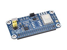
The Q43 GNSS Helical RTK Module is a smart positioning antenna that integrates an RTK engine, helical antenna and geomagnetic sensor in one compact unit. The product supports multi-constellation, multi-frequency GNSS signal reception and dual-frequency RTK positioning, delivering stable and reliable high-precision positioning performance, making it an ideal choice for high-precision navigation applications such as intelligent robots, precision agriculture, mining, surveying and mapping, and autonomous driving.
- Integrated design of RTK positioning module and helical antenna, compact size, easy installation, suitable for integrated applications
- Built-in geomagnetic sensor, suitable for compass and electronic compass applications
- Multi-constellation and multi-frequency, supports multi-constellation systems including GPS, BeiDou (BDS), GLONASS, Galileo, and QZSS
- Supports simultaneous output of RTCM 3.3 and NMEA-0183 protocols, up to 10Hz data update rate, compatible with mainstream differential and positioning systems
- Supports A-GNSS positioning enhancement system, significantly reducing time to first fix (TTFF)
- Wide-voltage input, 3.3V ~ 16V operating voltage range, suitable for various power supply environments
| ANTENNA CHARACTERISTICS | Signal Received |
GPS: L1/L5 BDS: B1I/B1C/B2a/B2b GLONASS: G1 GALILEO: E1/E5a/E5b QZSS: L1/L5 |
|---|---|---|
| Characteristics Impedance | 50Ω | |
| Polarization | RHCP (Right-Hand Circular Polarization) | |
| Covering Range | 360° | |
| Peak Gain | 2.5dB | |
| Output VSWR | ≤2 | |
| Axial Ratio | ≤3dB | |
| AMPLIFIER CHARACTERISTICS | Gain | 23dB |
| Noise Figure | 1.5dB | |
| Output VSWR | ≤2 | |
| SYSTEM SPECIFICATIONS | Positioning Module | LB1020 |
| Geomagnetic Sensor | QMC5883P | |
| Operation Voltage | 3.3V ~ 16V | |
| Power Consumption | 150mW (Typical) | |
| Sensitivity (GNSS) | Cold Start: -148dBm | |
| Re-acquisition: -159dBm | ||
| Tracking: -165dBm | ||
| RTK Accuracy (RMS) | Horizontal: 1cm + 1ppm | |
| Vertical: 2cm + 1ppm | ||
| Time Accuracy (RMS) | 20ns | |
| Time To First Fix | 26s (Typical) | |
| Initialization Time | 6s (Typical) | |
| Initialize Reliability | >99.9% | |
| Data Update Rate | 10Hz | |
| Data Format | RTCM 3.3; NMEA-0183 | |
| OTHER CHARACTERISTICS | Communication interface | UART, I2C |
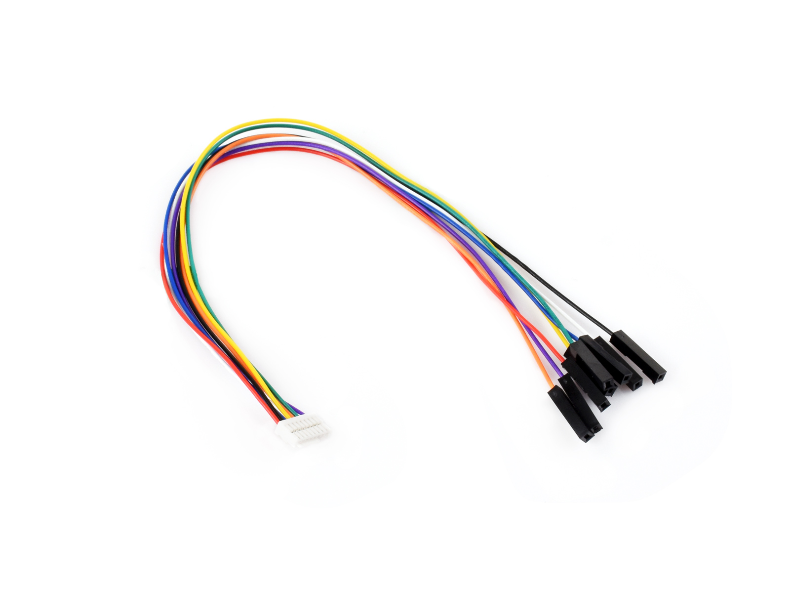
| Connector | GH1.25 8PIN | |
| Operating Temperature Range |
-40℃ ~ +85℃ | |
| Storage Temperature Range |
||
| Humidity | ≤95% | |
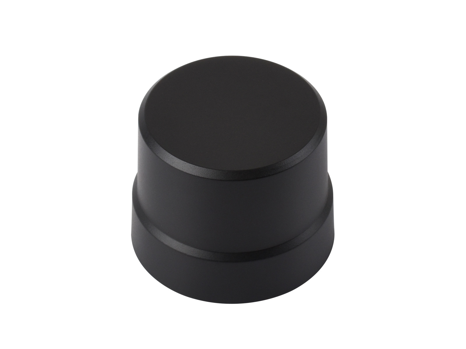
| Dimensions | 37.00 × Φ47.04 (mm) |
Centimeter positioning
Two Q43 GNSS Helical RTK Modules are used as an RTK Base Station
and RTK Mobile Station respectively
By setting up continuous running reference station and outputting the differential correction data on the ground known fixed coordinates using the Q43 module which is configured in base station mode, or by paid RTK base station enhanced services, transmitting differential correction data to Q43 terminals which uploading rough positioning data, the terminals, with errors like multipath refraction, Ionospheric, and Tropospheric Refraction, are able to calculate error value in real time, for centimeter-level positioning in seconds.

Supports Multi-constellation systems, including GPS, BDS, GLONASS, Galileo, and QZSS

Supports A-GNSS positioning enhancement system, significantly reducing time to first fix and simultaneously improving the accuracy, integrity, reliability, and availability of positioning and navigation

Suitable for compass and electronic compass applications

Provides demos and user manuals for Raspberry Pi / Raspberry Pi Pico / Jetson Orin / ESP32 / Arduino, enabling easier development integration and strong scalability


connects to a PC / Raspberry Pi / Jetson Orin series board via USB to serial port module

connects to a Raspberry Pi / Raspberry Pi Pico / Jetson Orin / ESP32 / Arduino board via GH1.25 header

* for reference only, the Raspberry Pi 5 and USB To UART Module are NOT included.


* Resources for different product may vary, please check the wiki page to confirm the actually provided resources.
| Module | Signal Received | RTK Functionality | RTK Accuracy (Horizontal) | Data Update Rate (MAX) | TTFF (Cold Start) | RTK Convergence Time (outdoor environment) | Communication interface |
|---|---|---|---|---|---|---|---|
 Q43 GNSS Helical RTK Module |
GPS: L1/L5 BDS: B1I/B1C/B2a/B2b GLONASS: G1 GALILEO: E1/E5a/E5b QZSS: L1/L5 |
RTK Rover and Base | 1cm + 1ppm | 10Hz | 26s | <6s | UART: Positioning Module (def 115.2kbps) I2C: Geomagnetic Sensor |
 LG290P GNSS RTK Module |
GPS: L1 C/A, L1C*, L5, L2C GLONASS: L1, L2 Galileo: E1, E5a, E5b, E6 BDS: B1I, B1C, B2a, B2b, B2I, B3I QZSS: L1 C/A, L1C*, L5, L2C, L6 NavIC: L5 SBAS: L1 |
RTK Rover and Base | 0.8cm + 1ppm CEP | 20Hz | 28s | <5s | USB: Type-C USB 2.0 UART: 4.8k~ 921.6kbps (def 460.8kbps) |
 LC29H(DA) GPS/RTK HAT |
GPS/QZSS: L1C/A, L5 BDS: B1I, B2a Galileo: E1, E5a GLONASS: L1 |
RTK Rover | 1cm + 1ppm CEP | 10Hz | 26s | <10s | USB: Micro USB 2.0 UART: 9.6k~3Mbps (def 115.2kbps) I2C : Max 400KHz |
 LC29H(BS) GPS/RTK HAT |
GPS/QZSS: L1C/A, L5 BDS: B1I, B2a Galileo: E1, E5a GLONASS: L1 |
RTK Base | - | 1Hz | - | - | USB: Micro USB 2.0 UART: 9.6k~3Mbps (def 115.2kbps) I2C: Max 400KHz |
 ZED-F9P GPS-RTK HAT |
GPS/QZSS: L1C/A, L2C BDS: B1I, B2I Galileo: E1B/C, E5a GLONASS: L1, L2 |
RTK Rover and Base | 1cm + 1ppm CEP | 20Hz | 24s | <10s | USB: USB2.0 UART: 4.8k-921.6kbps (def 9.6kbps) I2C: Max 400KHz SPI: 5MHz |
Weight: 0.025 kg
Quick Overview
- Q43 GNSS Helical RTK Module x1
- GH1.25 to 2.54mm 8PIN cable x1