Details
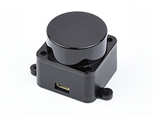
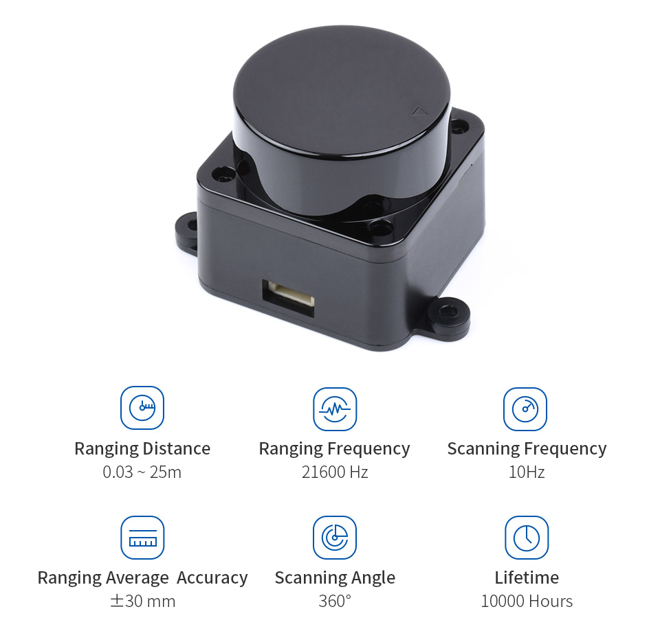
DTOF 360° Omni-directional Lidar, Compact Size & Large Ranging Radius
| Ranging Distance | 0.03~2m | 2~8m | >8m |
|---|---|---|---|
| mean error | ±15mm | ±20mm | ±30mm |
| overall standard deviation | 5mm | 15mm | 25mm |
| Ranging Distance | 0.03~25.00m (target surface reflectivity is 80.6%) |
|---|---|
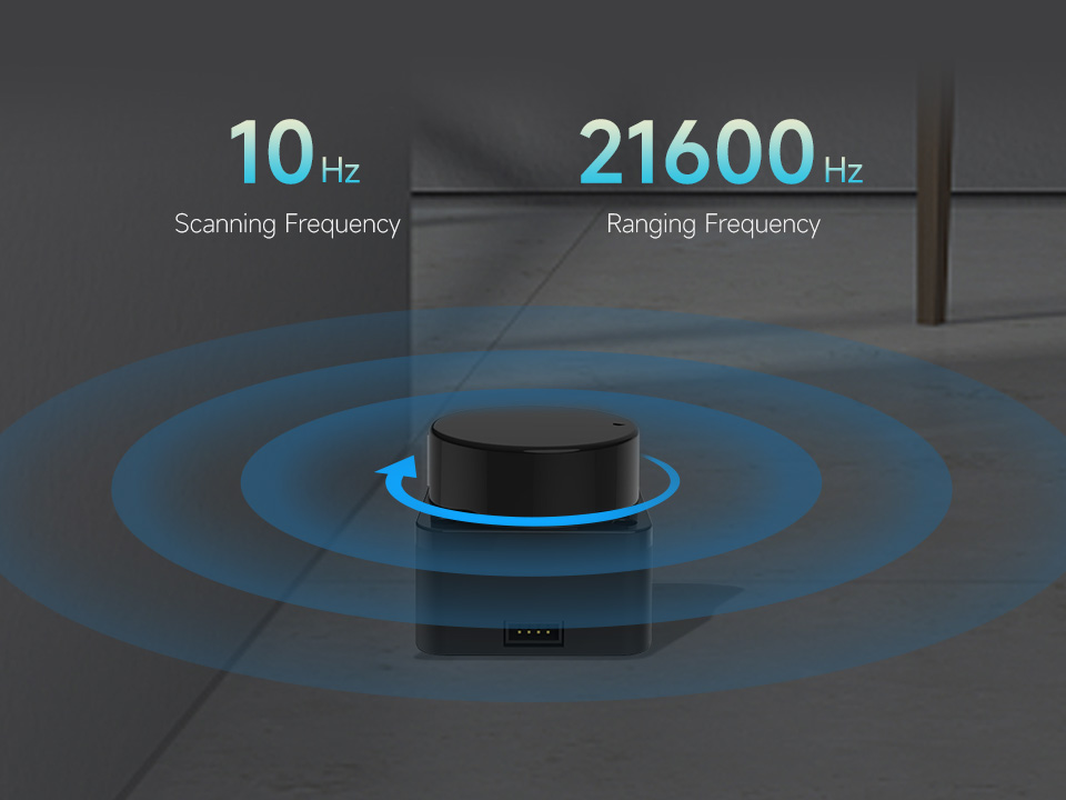
| Scanning Frequency | 10Hz |
| Scanning Angle | 360° |
| Ranging Frequency | 21600Hz |
| Angular Resolution | 0.167° |
| Wavelength | 895 ~ 915 nm (Typ 905) |
| Communication Interface | UART @ 921600 |
| Ambient Light Tolerance | 60 KLux |
| Power Supply | 4.5~5V (Typ 5V) |
| Power Consumption | 1.45W |
| Operating Current | 290 mA |
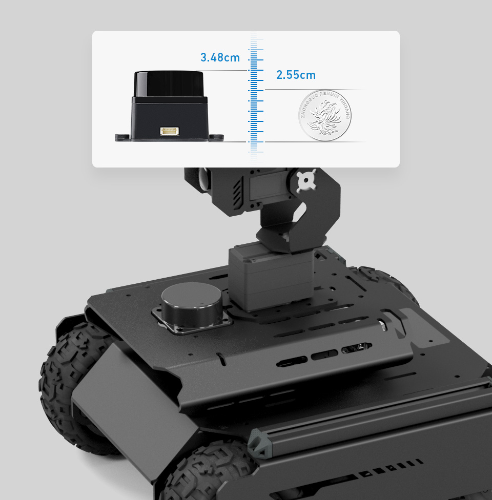
| Weight | 46.1g |
| Operating Temperature | -10°C ~ 50°C |
| Lifetime | 10000+ hours |
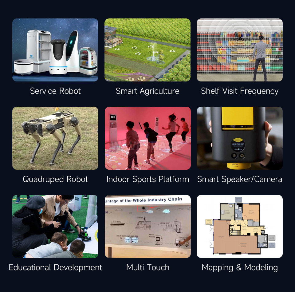
Adopting TOF (Time of Fight) ranging technology, measuring distance according to the time-of-flight of the laser pulse. The maximum ranging distance can reach up to 25m to meet the demand of most commercial applications, and can reach the measurement accuracy of ±20 mm within the effective detection distance of 8m. With efficient algorithm logic to achieve 360° detection of the robots, autonomous mapping, and obstacle detection...
Open source for demo, schematic diagram and other resources of the adapter board, enabling personalized development and Lidar operation control, effectively prolonging its lifetime.
Adopts Coaxial brushless motor, quiet without friction, supports high-speed wireless data transmission with stable performance. Features a longer lasting lifetime up to 10000+ hours, meets the requirement of low failure rates in the projects.
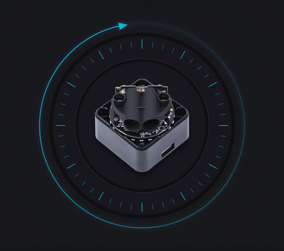
Rotates clockwise in the ranging core to achieve 360-degree scanning and ranging of the surrounding environment, thus obtaining the contour map of the surrounding environment and the point cloud information of the location of obstacles
Longer Ranging Distance, Can Obtain the Environmental Information in A Farther Range, Ensuring The Large-Area Cruising And Mapping Capabilities Of the Robots
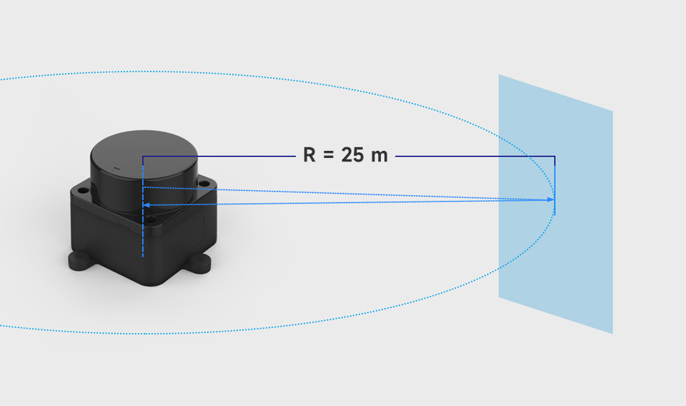
* The ranging distance data is obtained by repeated measurements of STL27L and a target surface with 80.6% reflectivity under laboratory conditions.
Supports scanning at 10Hz and measuring distance at a rate of 21600Hz, effectively reducing navigation blind spots and improving scanning coverage
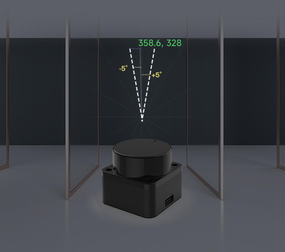
Supports glass wall detection at specific angles through multi-echo detection technology, reducing collisions during robot operation and increasing safety
Adopts excellent filtering technology to meet the use in 60Klux strong light, suitable for a variety of indoor and outdoor scenarios
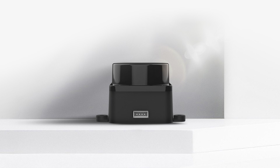
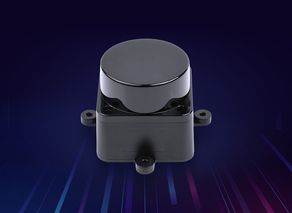
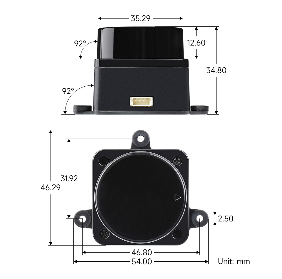
It adopts a compact structure design, smaller size, lower power consumption, and can be embedded inside the robot to reduce the overall size and improve its passability.
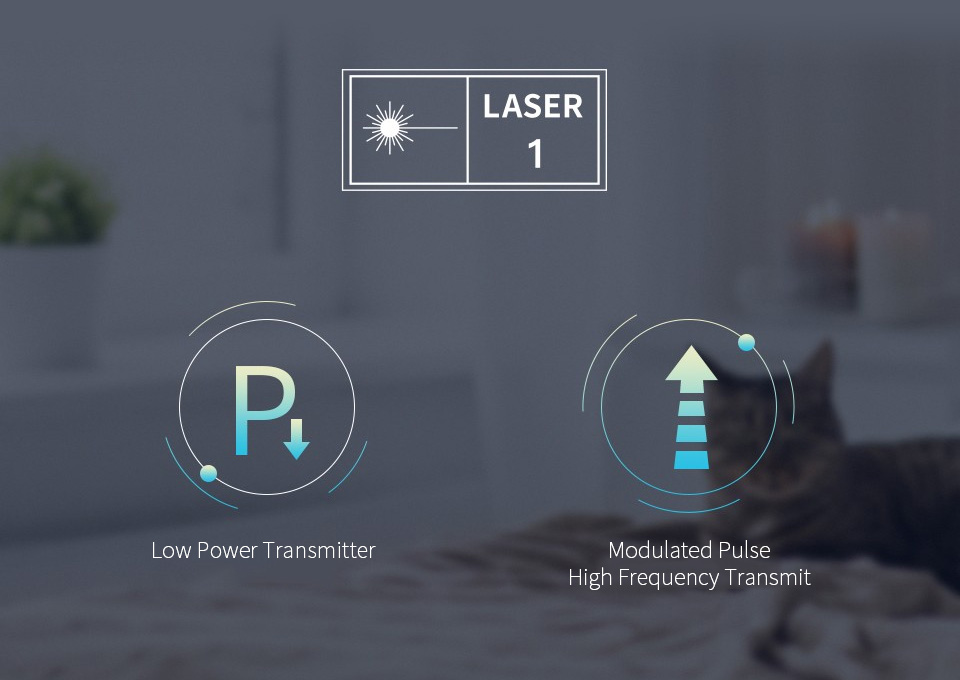
To ensure the safety for humans and pets, a low power infrared laser emitter is used as the light source and is driven by modulated pulses, the laser completes the emitting action in a very short period of time, complying with the FDA Class 1 human eye safety rating
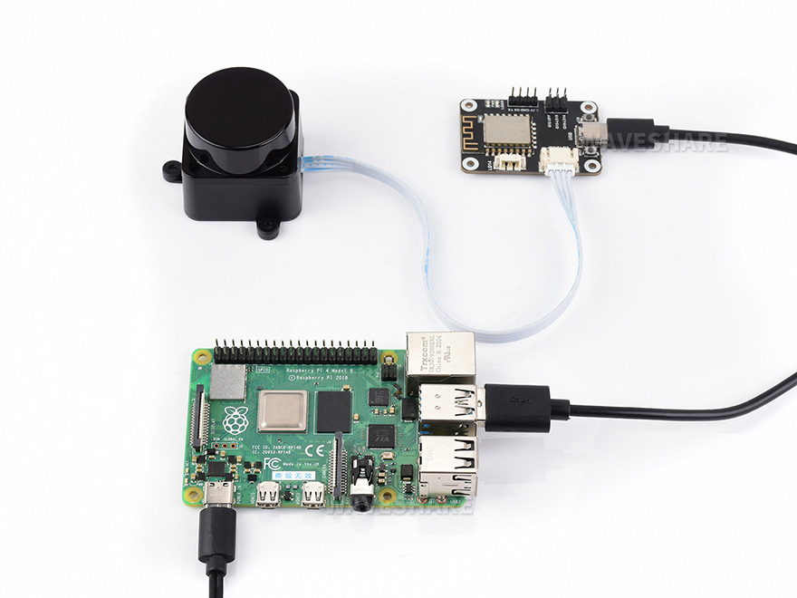
for reference only, the Raspberry Pi board is NOT included.


* Resources for different product may vary, please check the wiki page to confirm the actually provided resources.
| Product | RPLIDAR A1 | RPLIDAR C1 | D500 LiDAR Kit | D200 LiDAR Kit | DTOF LIDAR STL27L |
|---|---|---|---|---|---|
| RANGING DISTANCE | 0.15 ~ 12.00 m | 0.05~12.00m (white object, 70% reflectivity) 0.05~6.00m (black object, 10% reflectivity) |
0.03~12.00m | 0.15 ~ 8.00 m | 0.03~25.00 m |
| RANGING ACCURACY | 1% of actual distance (≤3 m) | ±30mm | ±10 mm (0.3 ~ 0.5m) ±20mm (0.5 ~ 2m) ±30mm (2 ~ 12m) |
White target: ±5mm (0.1~0.5m) ±10mm (0.5~1m) ±1.0% of actual distance (1~6 m) ±1.5% of actual distance (6~8 m) |
±15mm (0.03~2m) ±20mm (2~8m) ±30mm (>8m) |
| Black target: ±7mm (0.1~0.5m) ±12mm (0.5~1m) ±1.2% of actual distance (1~4 m) ±1.5% of actual distance (4~6 m) NA (6~8m) |
|||||
| SCANNING FREQUENCY | 5.5 Hz | 8~12Hz (Typ 10) | 6~13Hz (Typ 10) | 6Hz by default, 2 ~ 8 Hz externally controllable | 10 Hz |
| SCANNING ANGLE | 360° | 360° | 360° | 360° | 360° |
| RANGING FREQUENCY | 8000 Hz | 5000 Hz | 5000 Hz | 4000Hz | 21600Hz |
| RESOLUTION | ≤ 1% of actual distance (≤12 m) ≤ 2% of actual distance (within 12~16 m) |
15 mm | 15 mm | ≈ 17 mm | 15~30 mm |
| WAVELENGTH | 785 nm | 905 nm | 895 ~ 915 nm (Typ 905) | 775 ~ 800 nm (Typ 793) | 895 ~ 915 nm (Typ 905) |
| COMMUNICATION INTERFACE | UART | UART, TTL | UART | UART | UART |
| POWER SUPPLY | 5 V | 5 V | 5 V | DC 5V±10% | 4.5~5V |
| POWER CONSUMPTION | 0.5 W | 1.15W | 1.45W | ≈ 1.5 W | 1.45W |
| OPERATING CURRENT | 100mA | 230mA | 290mA | ≤300mA | 290mA |
| WEIGHT | 248g | 110g | 45g | 101g | 46.1g |
| OPERATING TEMPERATURE | 0°C ~ 40°C | -10 ~ 40°C | -10 ~ 45°C | -10°C ~ 50°C | -10°C ~ 50°C |
| DIMENSIONS(L × W × H) | 96.8 × 70.3 × 55.0mm | 55.60 × 55.60 × 41.3mm | 54.00 × 46.29 × 35.00 | 96.3 × 59.8 × 38.80mm | 54.00 × 46.29 × 34.80mm |
Weight: 0.086 kg
Quick Overview
- DTOF LIDAR STL27L x1
- LiDAR Driver with ESP8266 adapter x1
- USB Type A to Type C cable ~1m x1
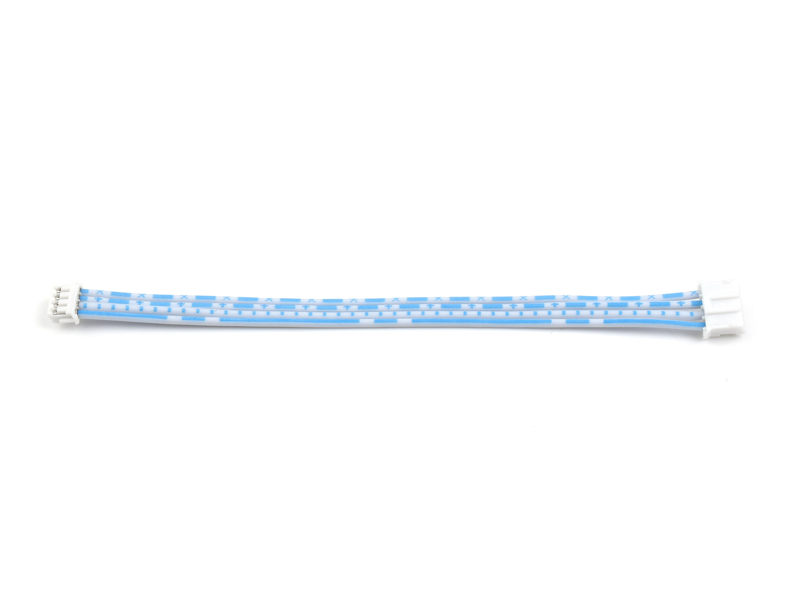
- PH2.0 to 1.27H cable ~11cm x1
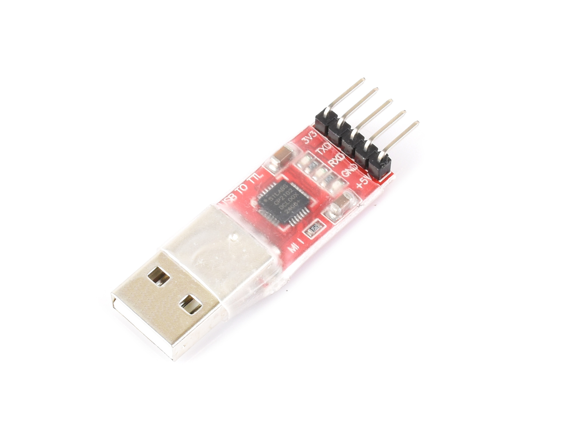
- USB TO TTL module x1
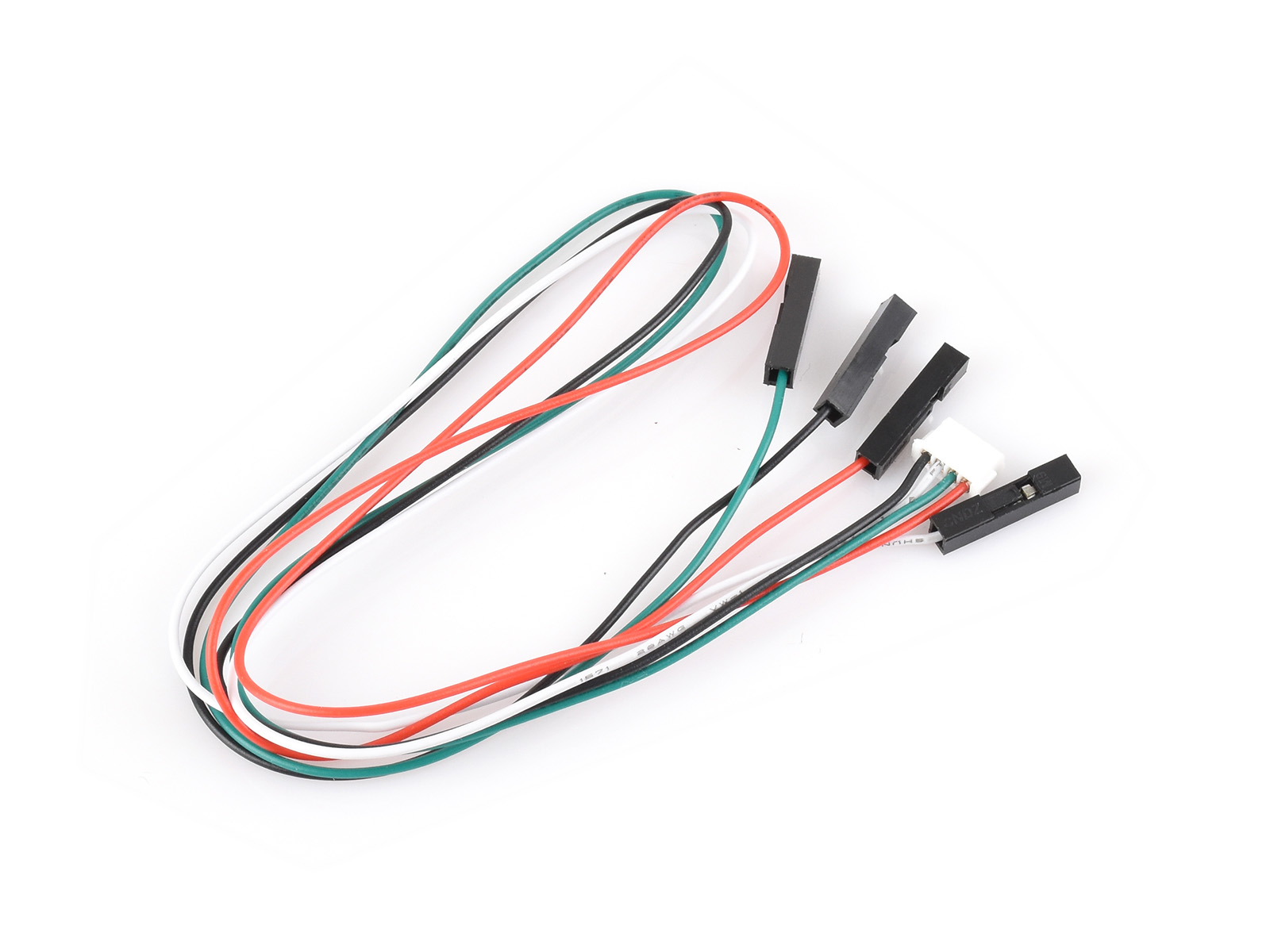
- ZH1.5 4PIN Dupont cable x1